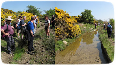
Todays walk is to Mullwharchar from the Backhill of Bush bothy.
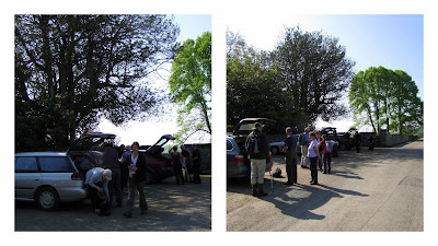
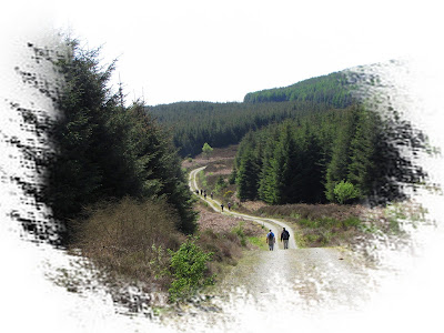
 It's an 8 mile rough forest road in around Clatteringshaws Loch from the main road to the bothy.We've needed four vehicles to convey todays walkers.I'm glad I wasn't in mine.I tend to get punctures too easily.
We total thirteen bipeds while Shep is our guest quadruped today.The weather is miserable.Various weather forecasts have been discussed and the general consensus is that the weather will improve early afternoon.I'm sticking with 4PM.
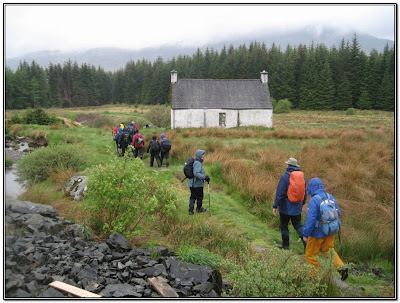 The bothy is in use by some quad bikers.There's been a problem with vandalism concerning the forest park bothies.People have been breaking up the furniture for firewood.Stop it !
(Thanks to Scoop for this picture and a couple more)
 We begin by heading west along a boggy path.Spongy,tussocky and just plain swampy features for much of todays walk.
  The Saugh is the first of a number of burns we cross.
Now we head over the Silver Flowe.This is one of Scotlands National Nature Reserves.
Rare dragonflies,butterflies and the carnivorous sundew plant can be found here.It's also part of Unescos MAB (Man and Biosphere programme)
SILVER FLOWE-MERRICK KELLS
and there's also a downloadable pdf from Scottish Natural Heritage at
Silver Flowe
 This sign has been here quite a while.A knowledgeable rambler informs me that the Nature Conservancy was superseded by the Nature Conservancy Council in 1973.He's right.
 Once across the Silver Flowe we head north under Dungeon Hill passing the Round and Long Lochs of the Dungeon.
 The going gets a bit firmer as we gain a little height and reach Dungeon Stone.
I wonder how heavy this is ? Remembering my days on the docks and how small a fifty tonne rock looked, when someone suggested a hundred tonnes I had to suggest it might be more.This is going to be at least one thousand tonnes.
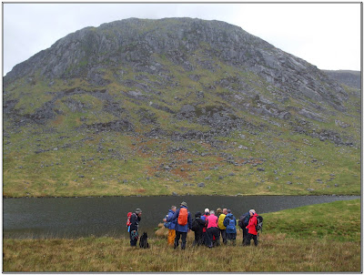
 Reaching Dry Loch (Strange name for a loch...maybe it's something like County Antrims 'Vanishing Lake'that reacts to the aquifers and water table levels) we take a break for a photo shoot...
 ...and Scoop get positioned for the perfect picture!
Now we begin heading north westwards through Brishie. This is the passage round Dungeon Hill to Mullwharchar via the Pulskaig Burn.

Below and to the north the burn known as Gala lane meanders it's way through the Silver Flowe towards Loch Doon.
 The slopes are becoming more severe now.I'm back in my regular position towards the rear.
 Now we're on the Loch Enoch side of Mullwharchars slopes.The weather doesn't look like picking up, just occasionally it eases slightly.I think I've probably mentioned before that Loch Enoch is the largest stretch of water at this height in the UK.
 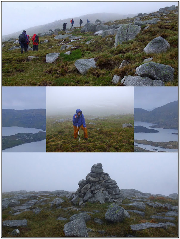 I have company for the last stretch to the summit.Mind you this senior citizen can give me seven years.I expect my hill climbing will improve with age.Ha ha
 We drop below the summit for lunch.A few umbrellas are raised including a small one of my own.What a good idea.
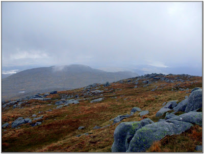
Occasionally there's a break in the cloud and we get a view of lochs Maceterick and Doon.
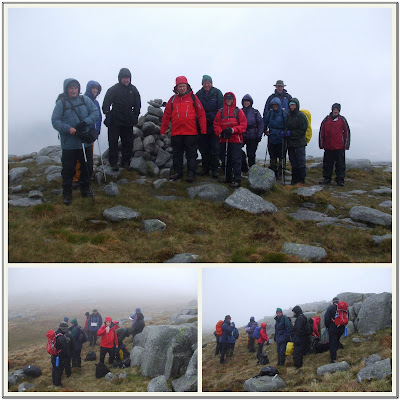 We have a long enough break today.With views at a premium, todays group would rather not tarry.I get in the group picture.
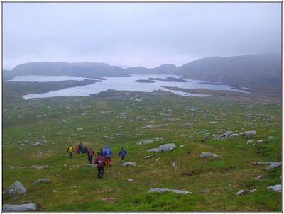 Todays walk leader is a seasoned hill climber and has a route via Loch Enoch back.
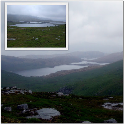 As we round the slopes of Craignairny, Loch Neldricken comes into view. I need to come back in better weather for a great panorama of both Neldricken and Enoch.
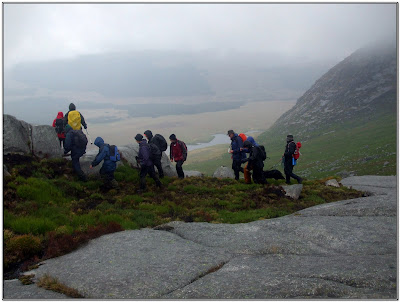 We keep a good height on Craignairny's rocky slopes till we overlook Dungeons lochs.
 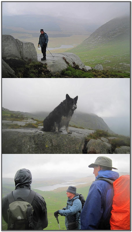 Thanks to Scoop for the above pictures.Shep looks fairly 'Drookit'.
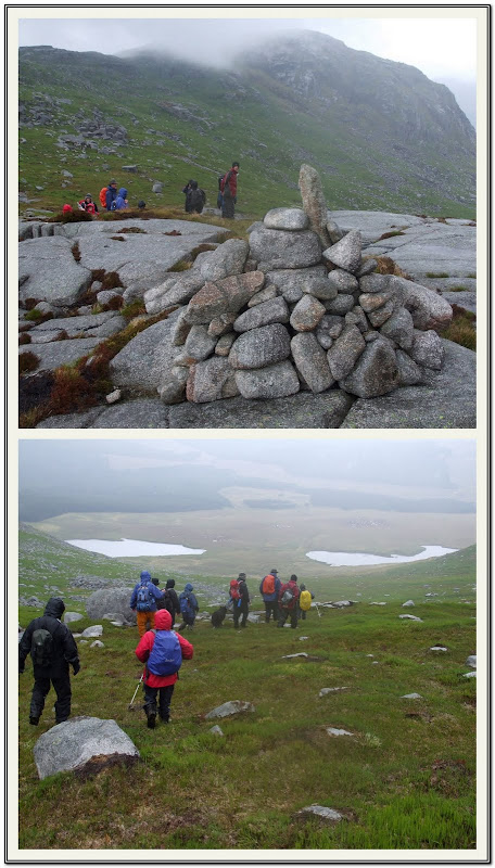 Now we reach the cairn at the Nick of the Dungeon.
 It's a very careful descent back to the area between the Round and Long lochs.Craignaws rocky slopes tower over us.
As we retrace our steps back over the burns and the Silver Flowe, water levels seem to have risen.It's 4PM and the sun makes a very hazy appearance.It's short lived though and it soon clouds over again.
Once back at the cars, wet gear is stowed away while the midges start to bite.
It's been a good solid walk,just a shame about the weather.Lots of good company as usual though.We're a very friendly group.
The day wasn't quite over though, I shouldn't have mentioned punctures.We had to stop at Talnotry's car park to change one. Sorry !
 Custom Search


